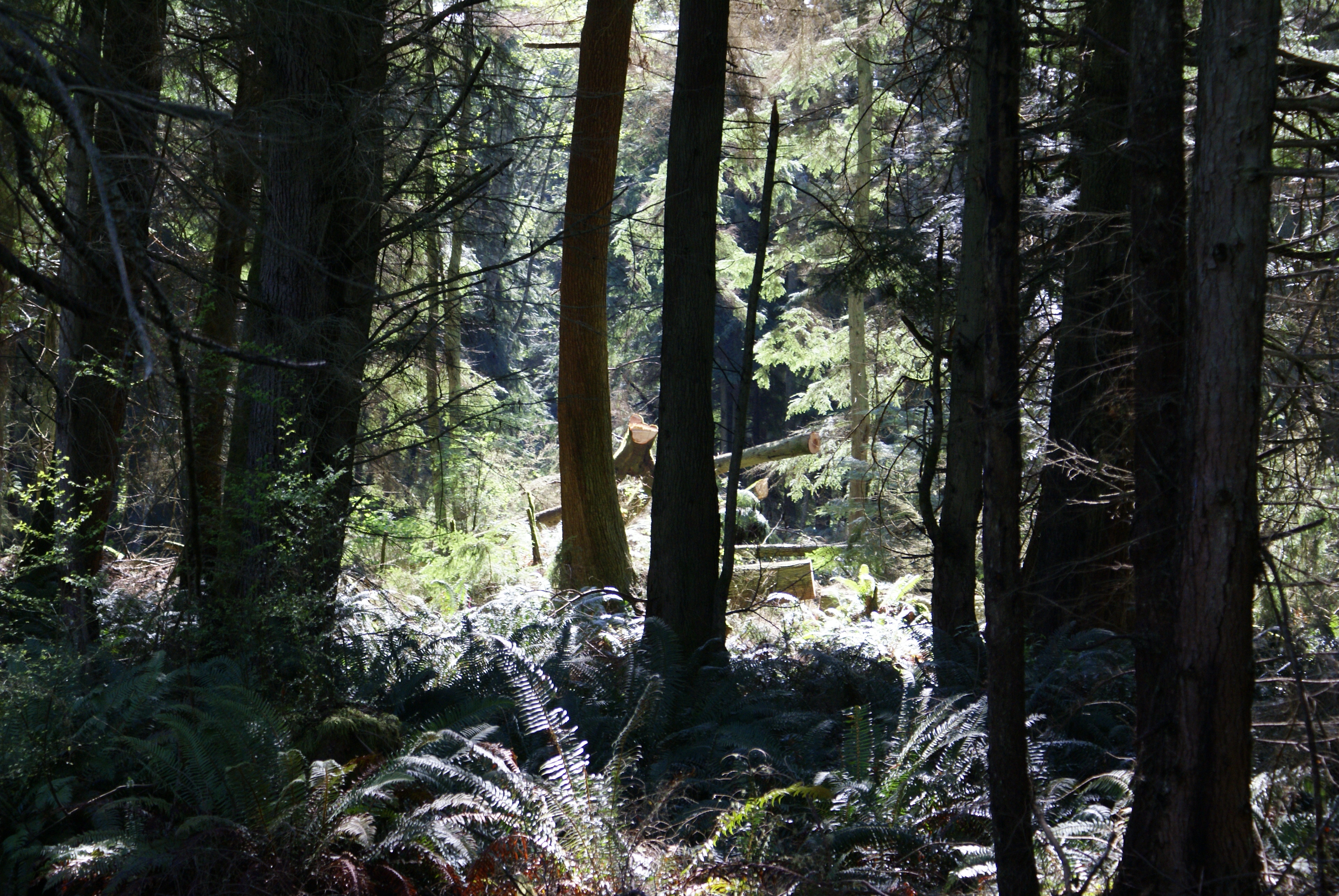
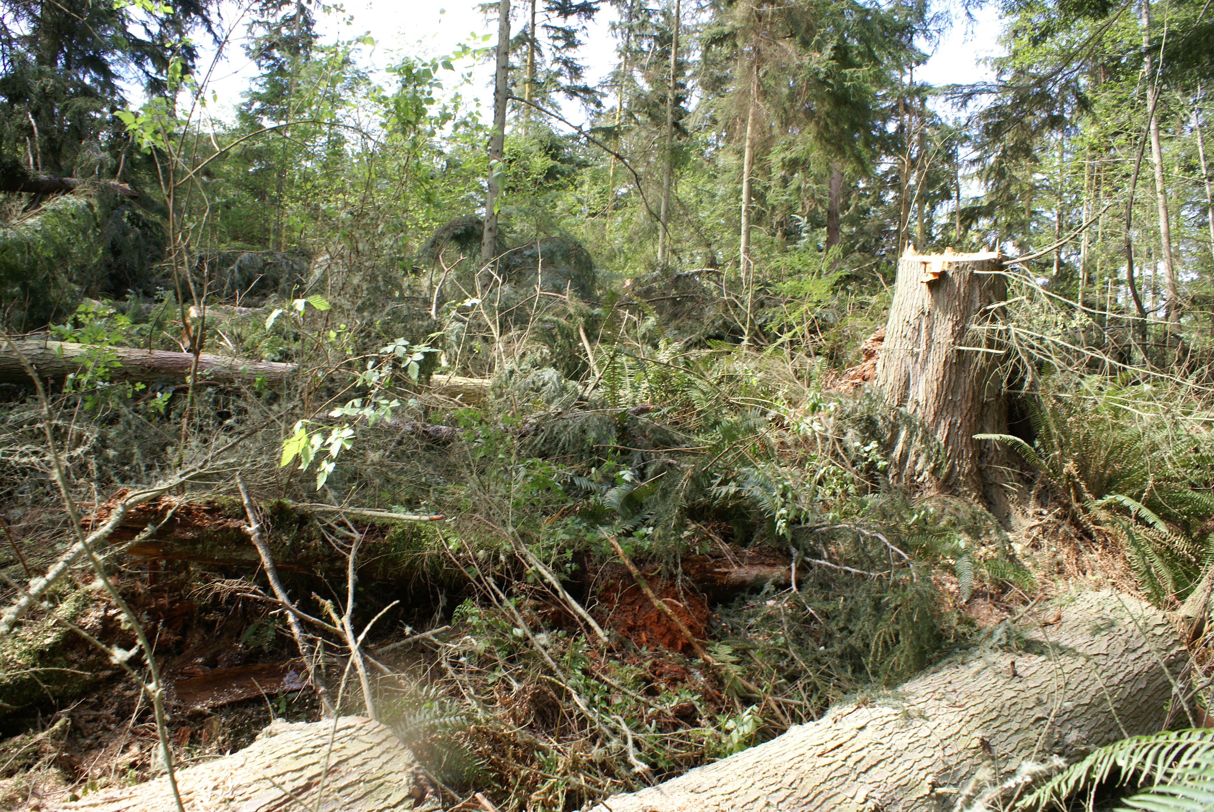
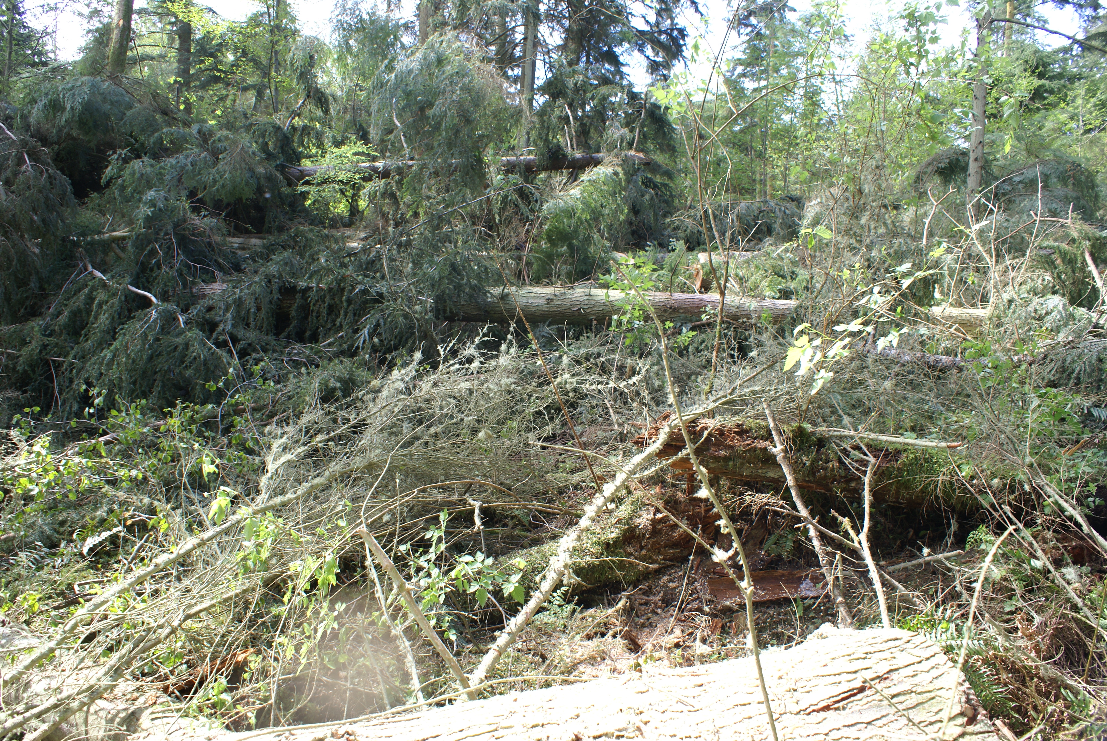
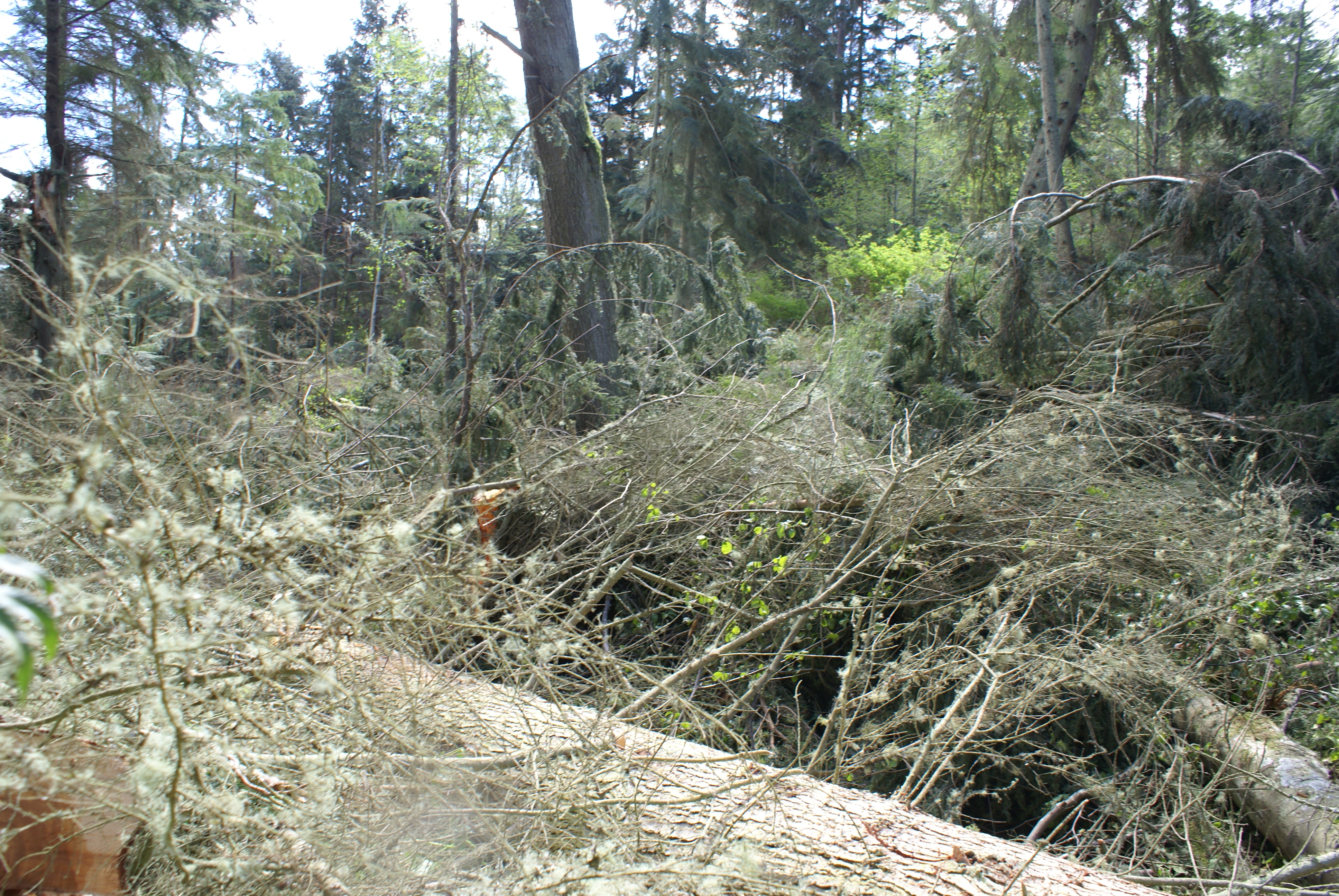
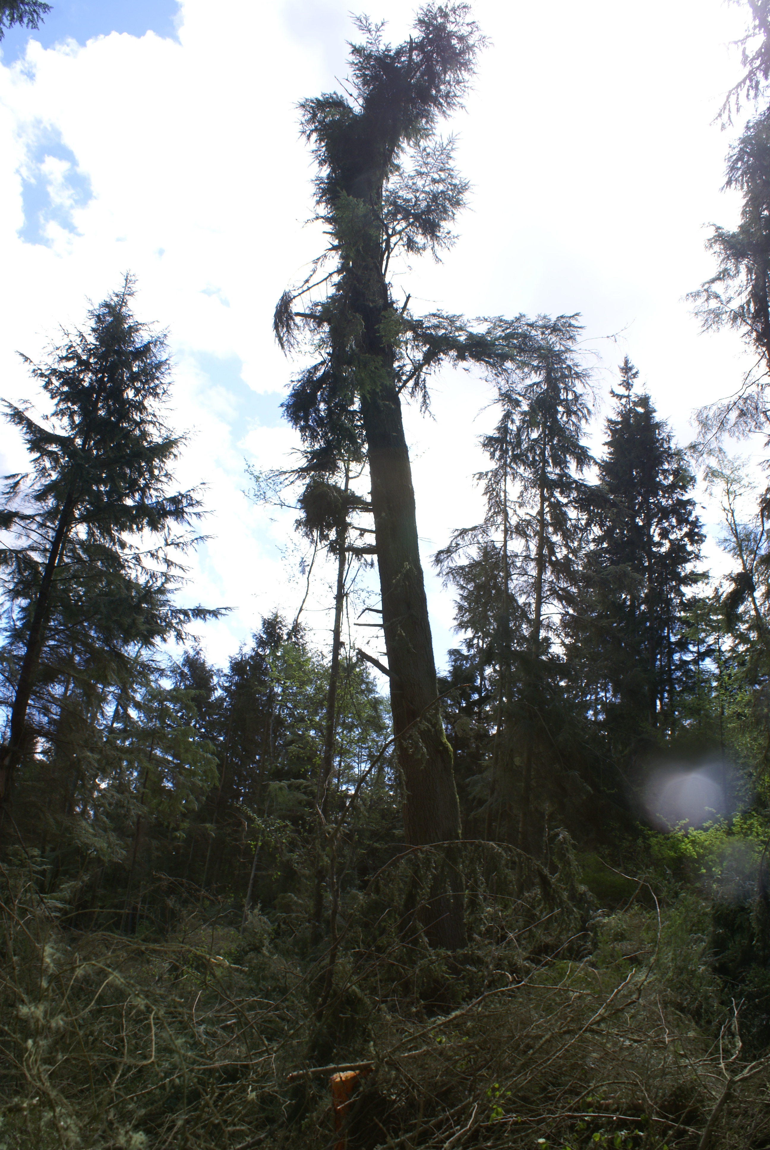
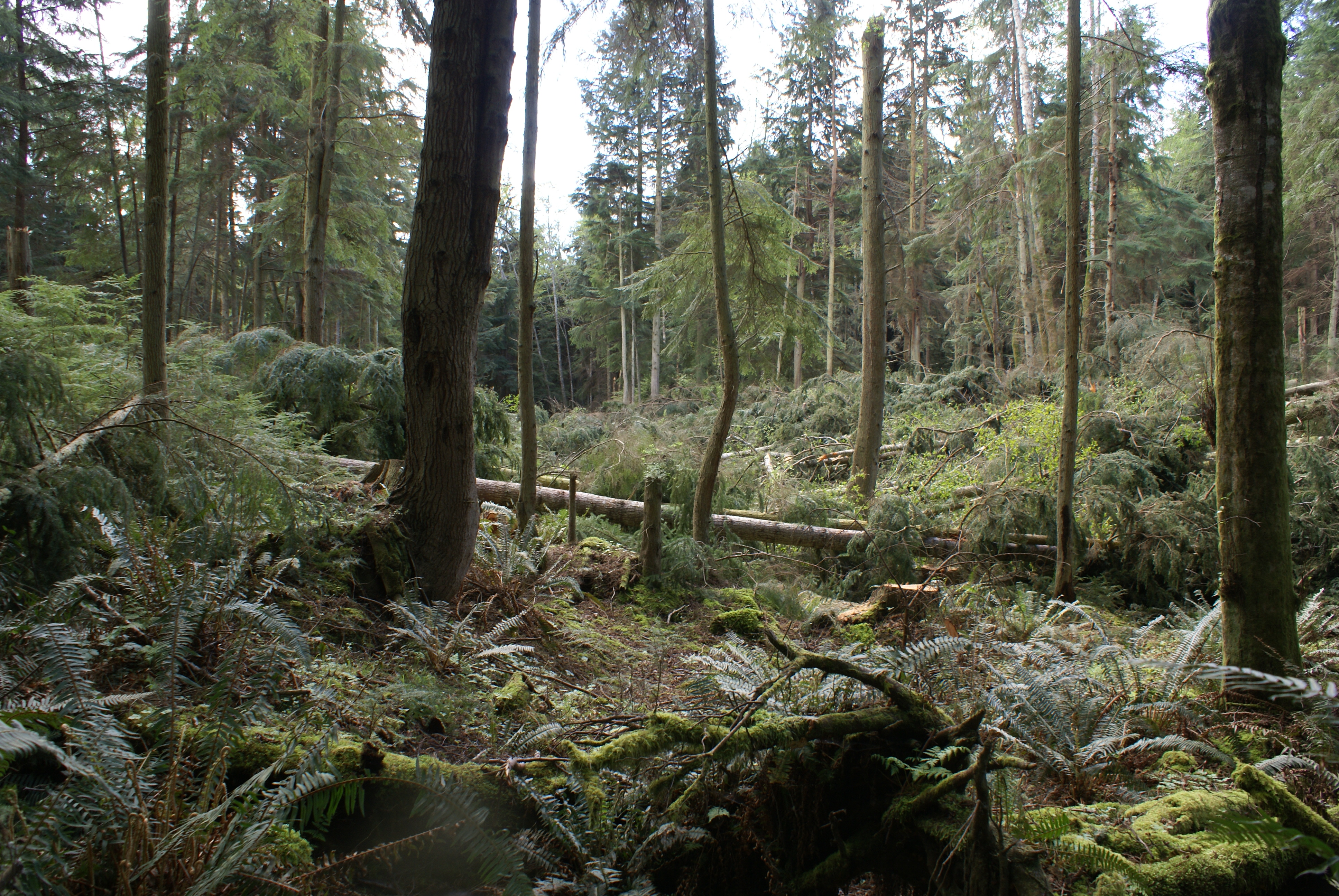
FPA 2813883: logging on Whidbey Island, April 26 2014
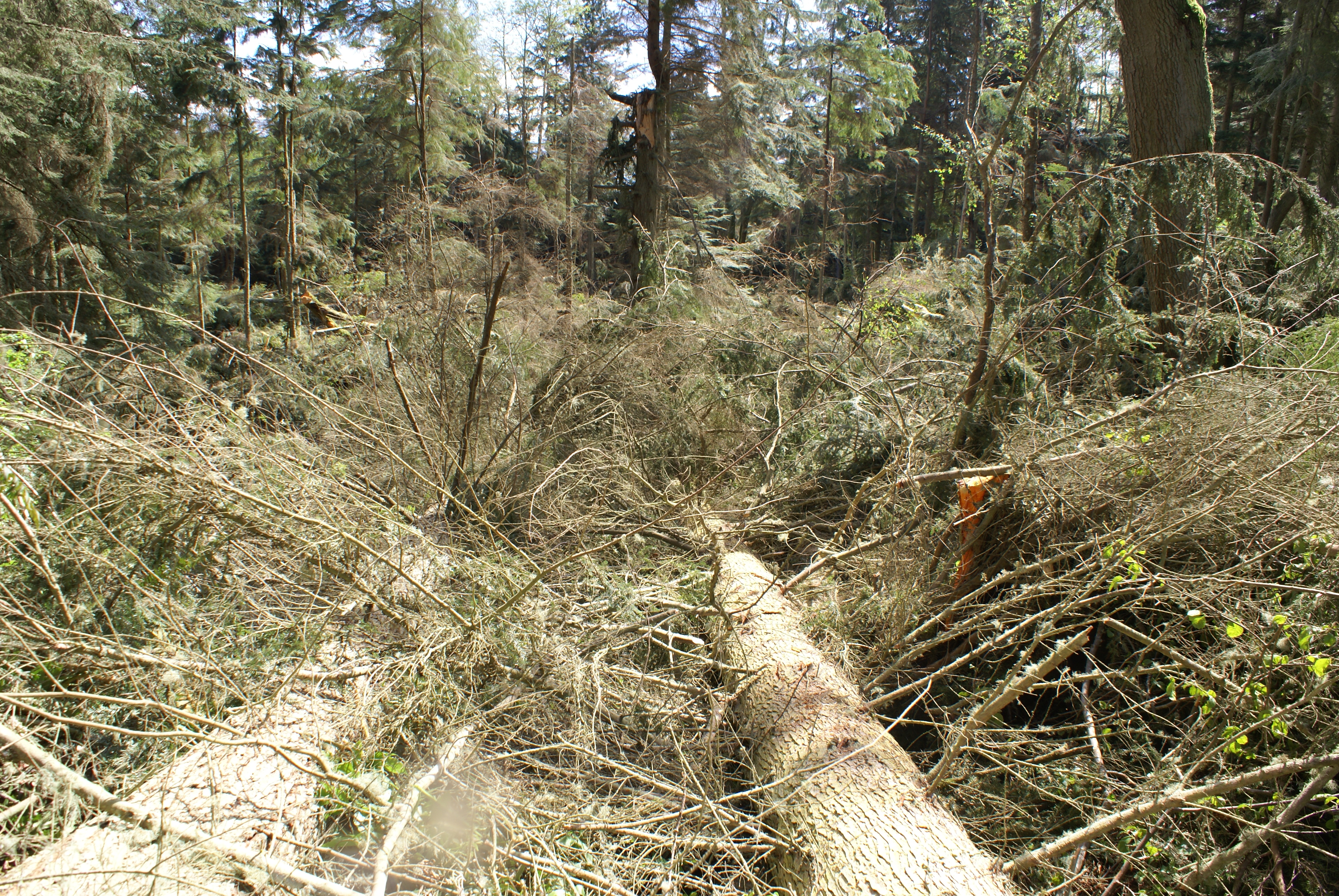
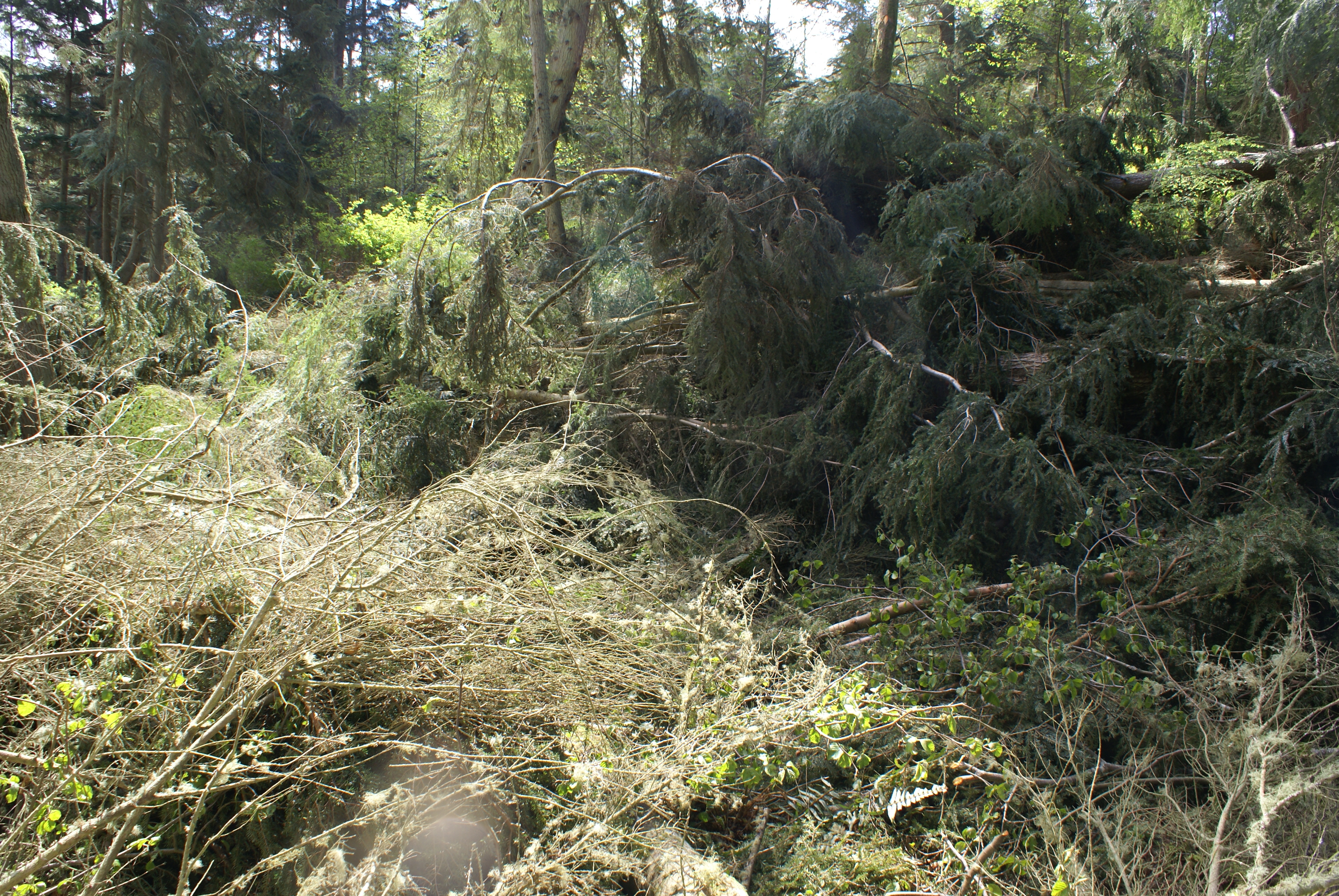
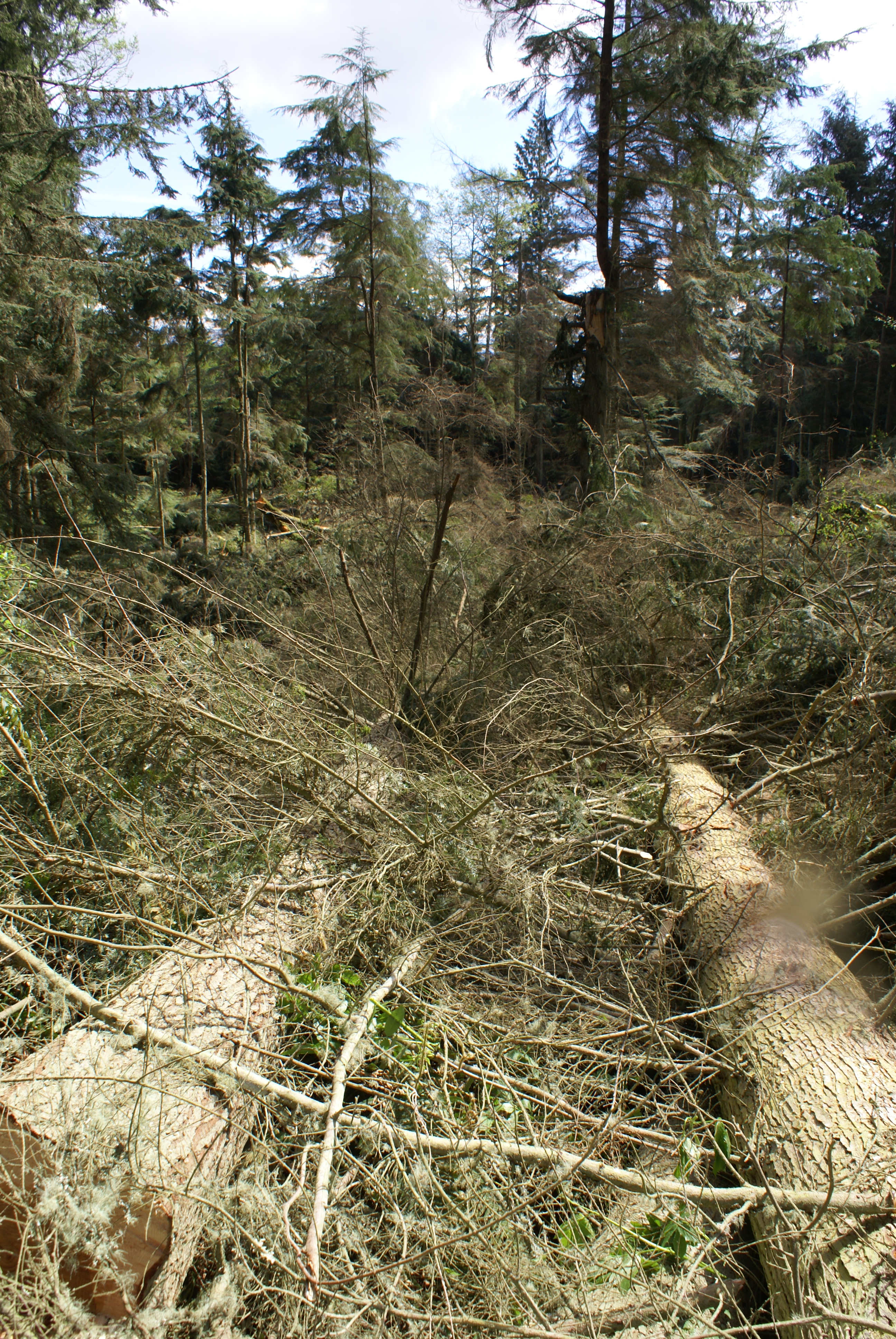
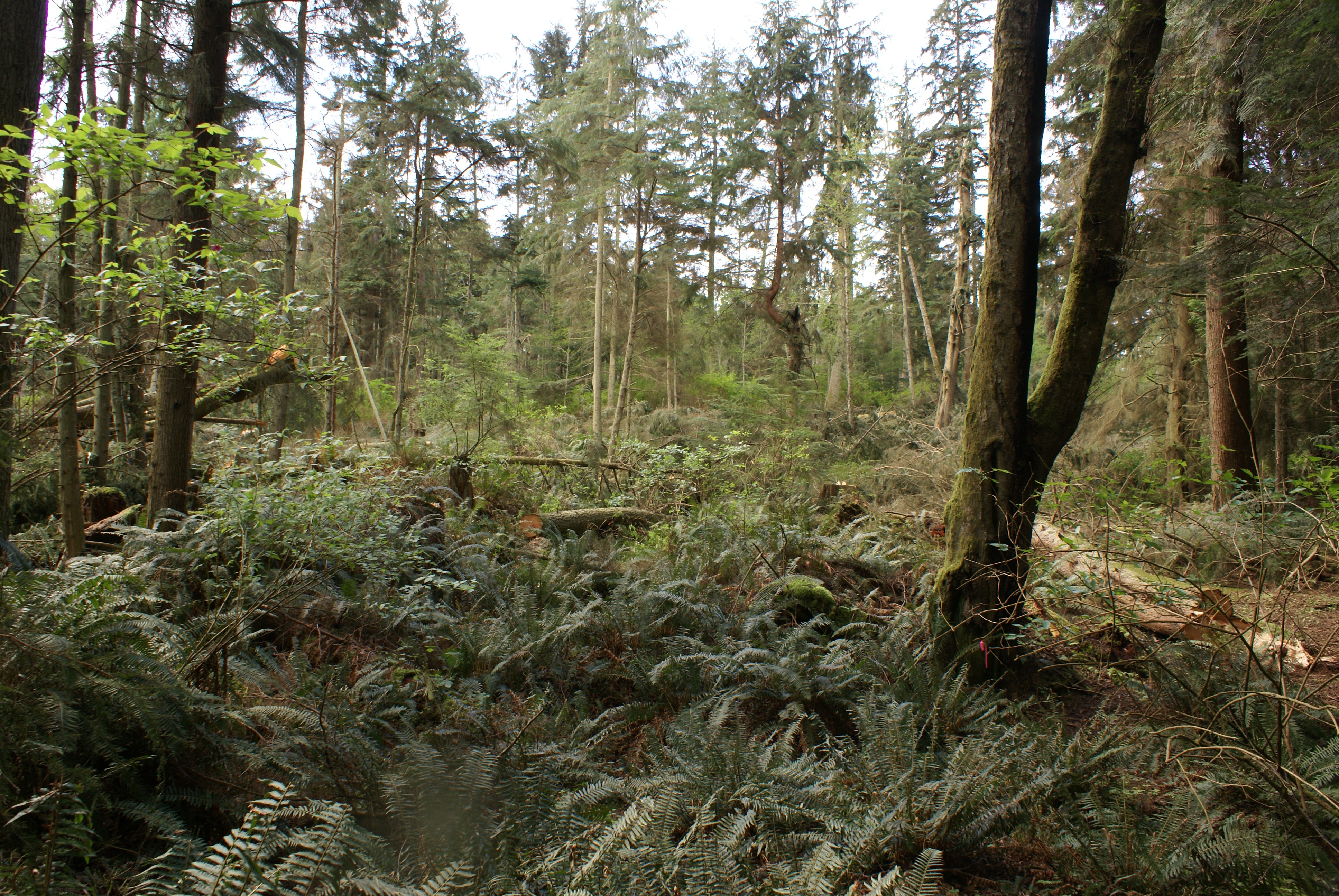
The permit states a 75% harvest, but the owners seem to be fine with clear cutting the entire site except for a buffer around the class "F" (fish) stream running through the middle of their property. It remains to be seen if they actually will not log nor drive heavy equipment through this restricted area -
I think they will have to in order to harvest the Northwest corner of their land. The available width for equipment is around 15 feet between the buffer and our property line, on a 20 degree slope; working on our land is not an option.
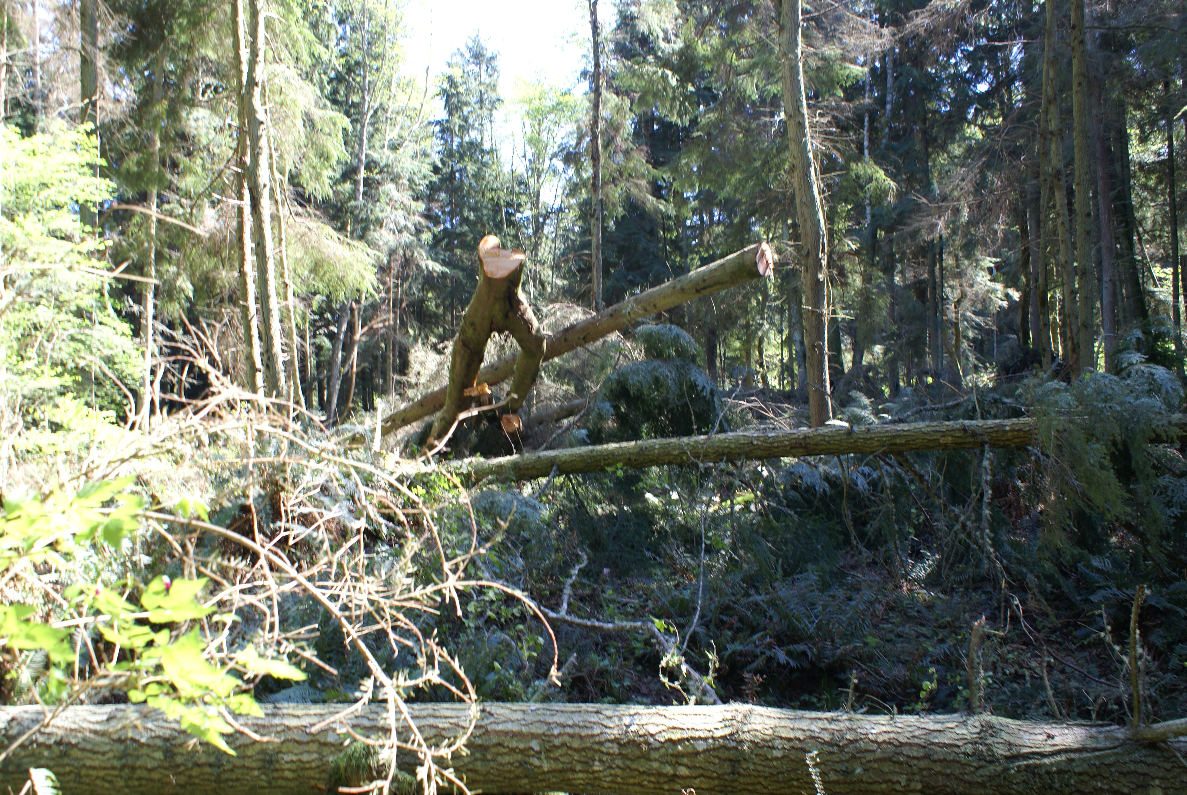
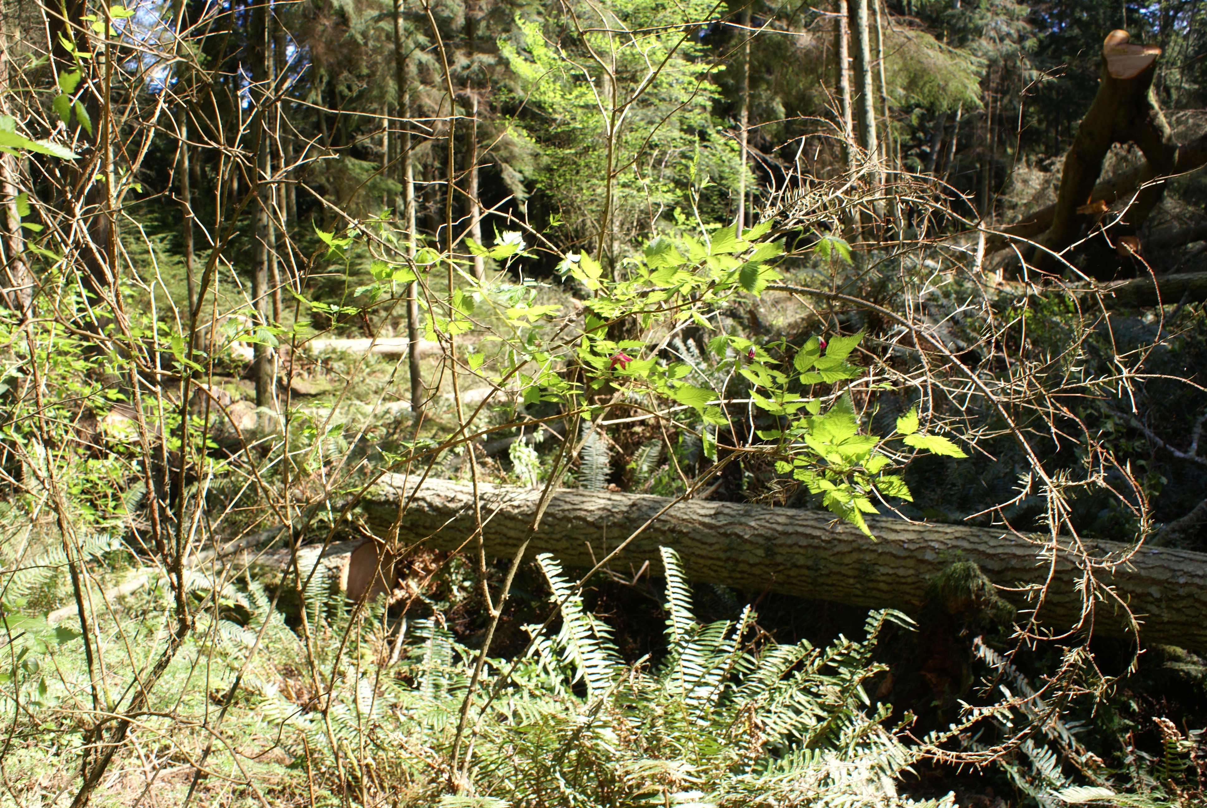
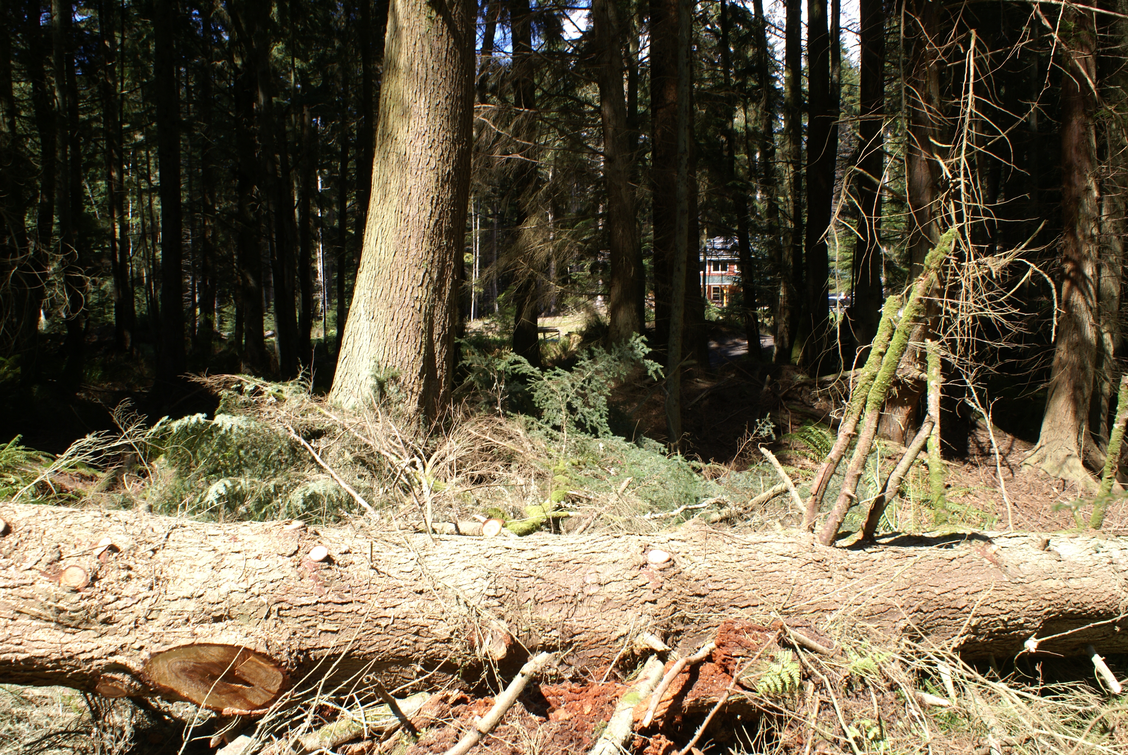
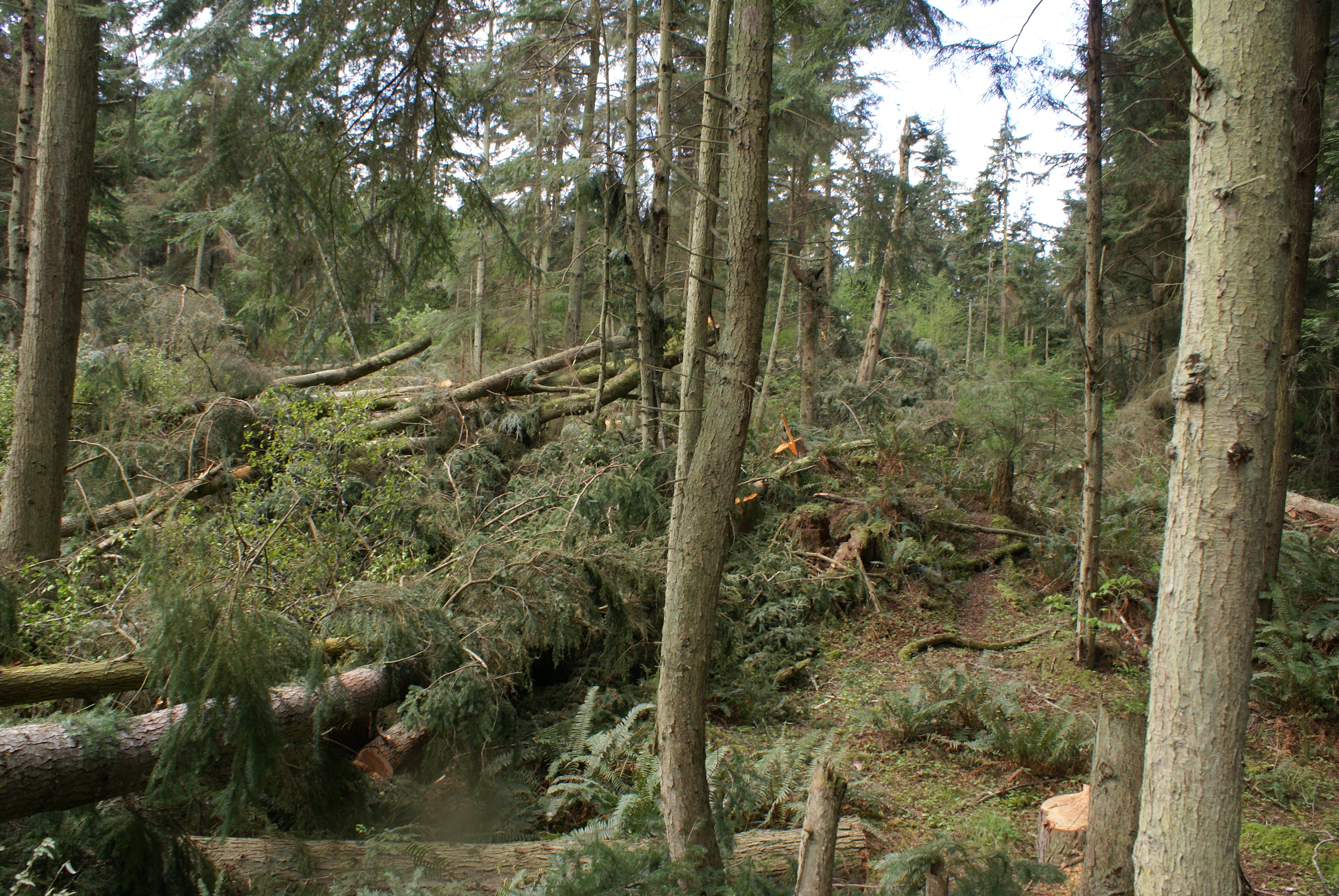
There have only been two loggers sawing for a total of ten hours, I believe the remaining healthy trees you see still standing below will be gone shortly.
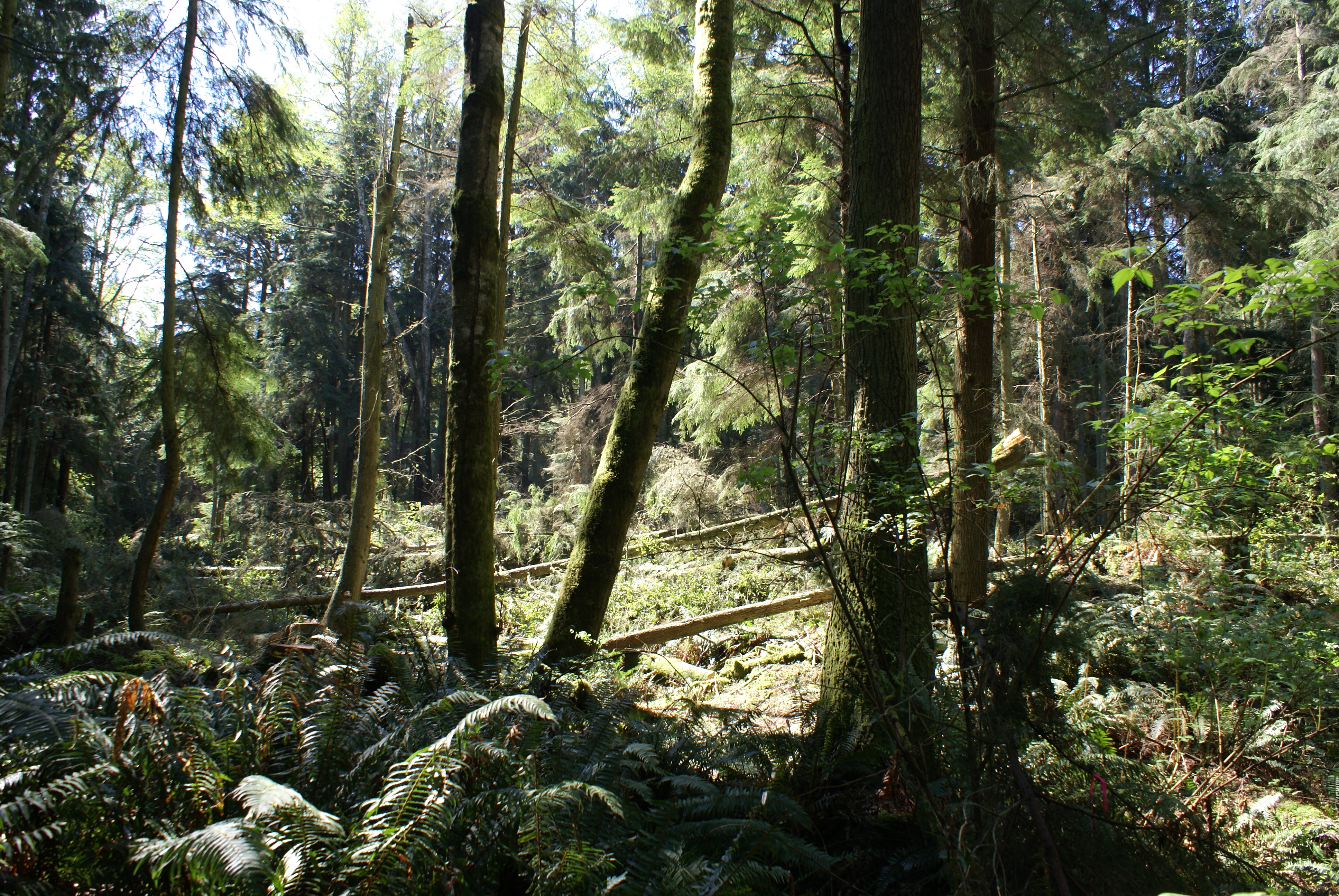
Nobody currently "knows" where the property lines actually are. The only survey available was done in the early 80's, and never filed with Island County - so it doesn't exist.
I talked with the surveyor who did the work back then; he has no documentation nor memory of the survey. I have a surveyor crew coming the week of April 28, 2014 and we will see exactly where boudaries are...
Logging permits can be browsed or downloaded by searching by FPA number at: https://fortress.wa.gov/dnr/fparssearch
The images in this collection are provided for non-commercial use. They may be used for educational and editorial purposes only.
©2014